/eh/2025-01-08/173633966714069467/picture.png)

/eh/2024-12-24/173503345348979036/Favorite-Icon.png)
/eh/2025-07-08/1751962110204480194/picture.png)
/eh/2025-06-21/1750485478958537574/countryInfoIcon.png)
/eh/2025-06-21/1750485741321434291/Hi-Sign-in-My-Nihao.png)
/eh/2025-06-21/1750485837193896318/cart.png)
/eh/2025-06-21/1750485968202533847/cart.png)
/eh/2025-04-17/1744862476612819675/hot-img.png)
/eh/2025-11-07/1762504524550532584/header-icon.jpg)
/eh/2025-07-07/1751875582852206790/header-icon.png)
/eh/2025-07-07/1751875587886277738/header-icon.png)

Best in 7 days


Shopping security
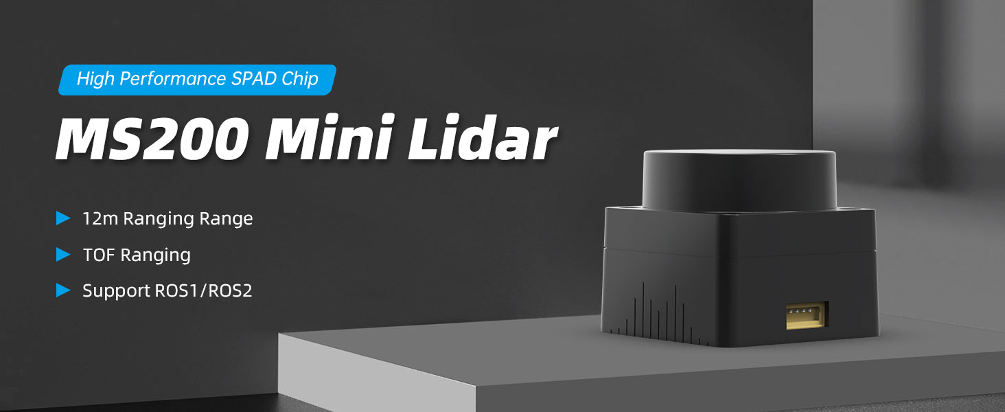
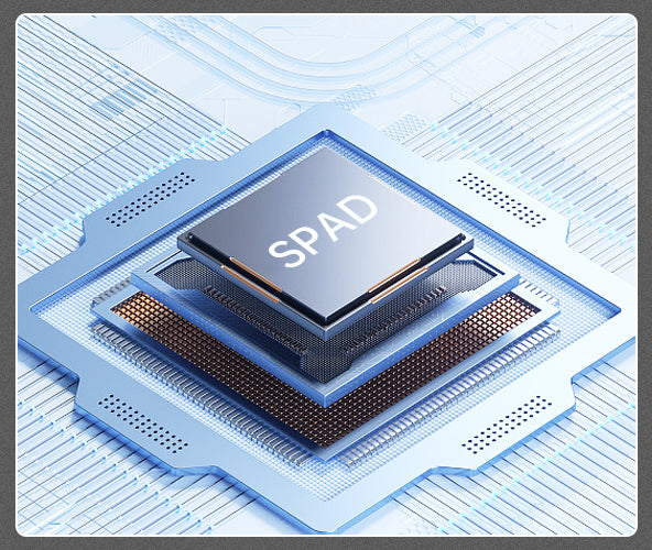
High-performance SPAD Chip
Customized single-photon chip optimizes measurement performance from the ground up.
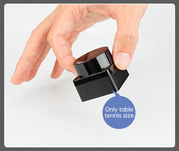
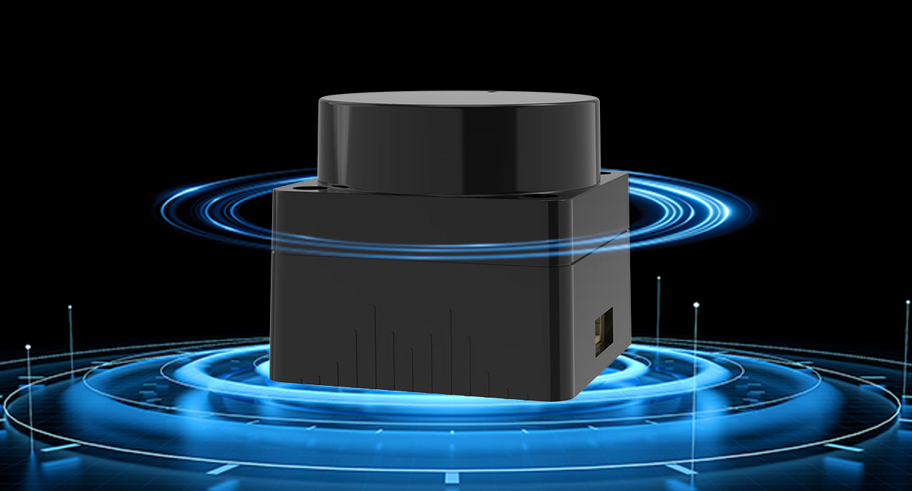
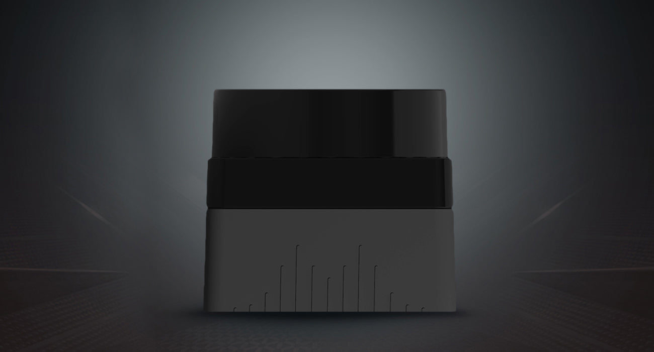
Light and Compact Design
Compact structural design to free robots from design limitations.
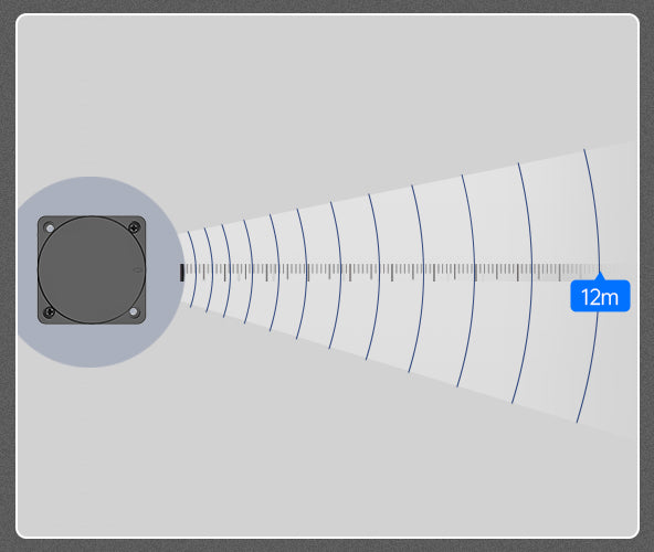
12m Scanning Radius
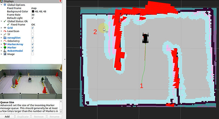
Provide a 50% increase in sensing range compared to typical triangulation lidar, effectively ensuring the robot's navigation and mapping capabilities.
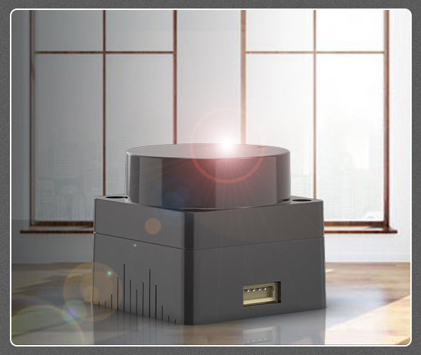
40000 Lux Anti-glare
Effectively avoid strong light interference, enabling measurement and mapping in complex lighting environments and , which reduces the difficulty of robot algorithm design.
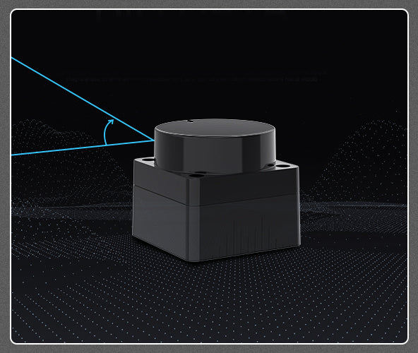
Adjustable Scanning Frequency
MS200 lidar comes with a driver for motor speed control. You can adjust the scanning frequency through software to accommodate different scenes and robots.
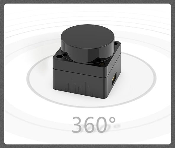
High Sampling Rate, High Resolution
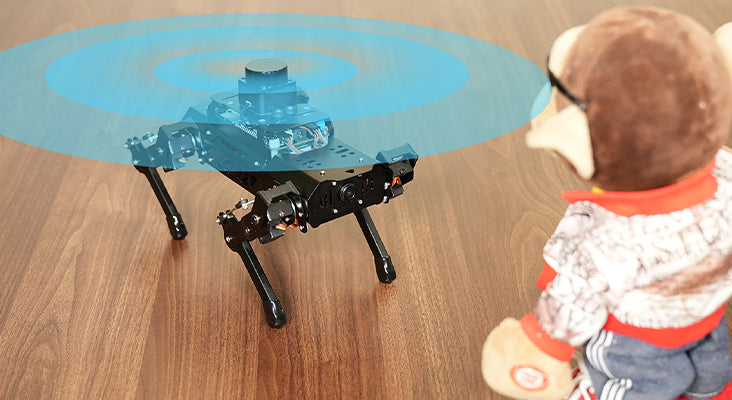
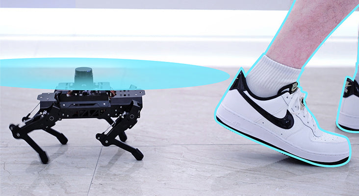
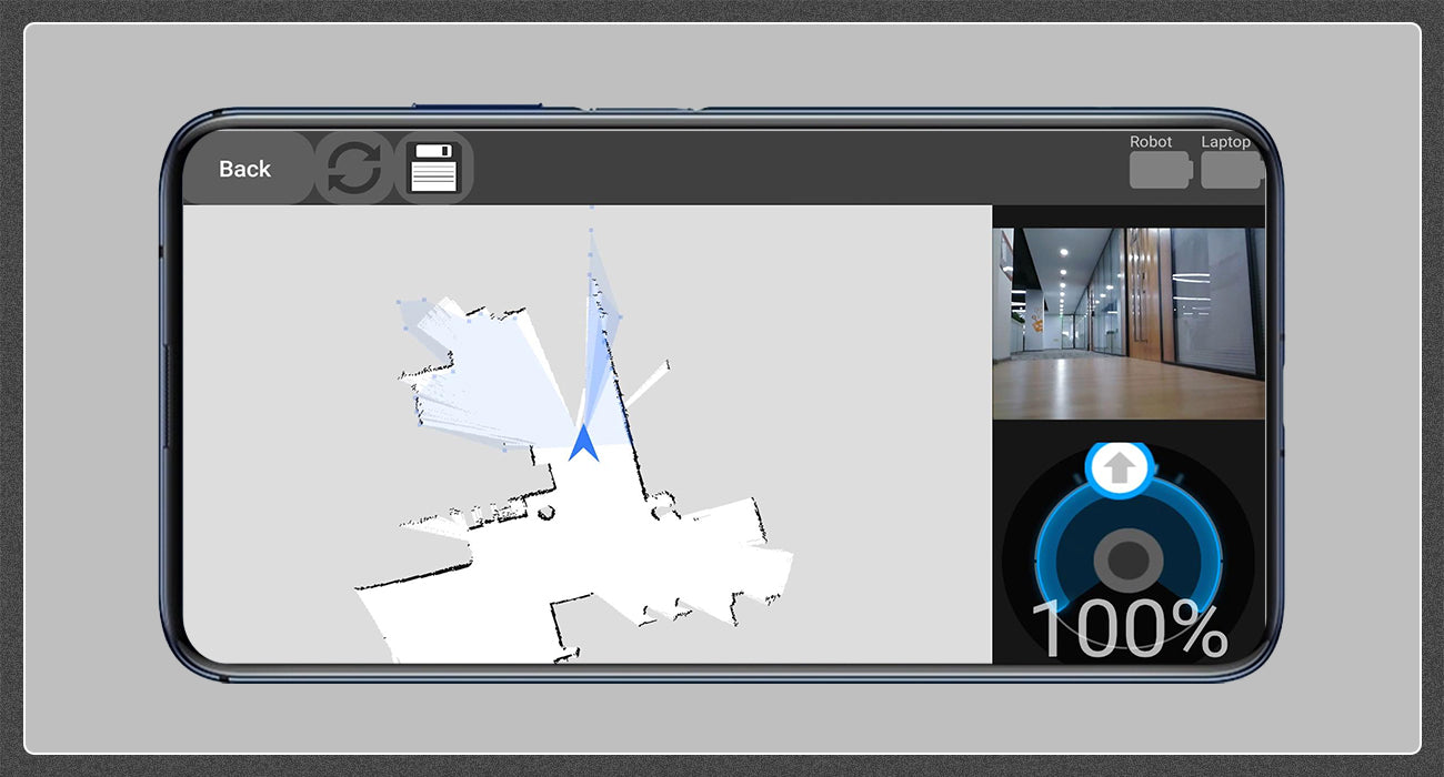
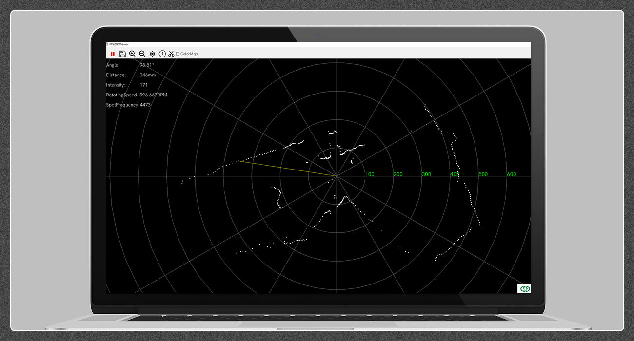
With a 360° omnidirectional scan and a high sampling rate of 4500Hz, MS200 achieves a minimum angular resolution of 0.4°. This allows for enhanced environmental perception and precise mapping.
CLASS 1 Safety
MS200 uses a low-power infrared laser emitter as its light source and is driven by modulated pulses. The laser emitter can emit light within an extremely short time frame. It has been certified under CLASS 1 eye safety for the protection of children and pets' eyes.
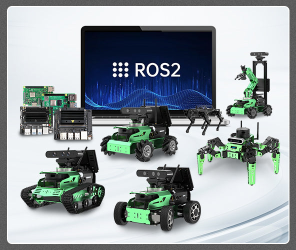
Strong Compatibility
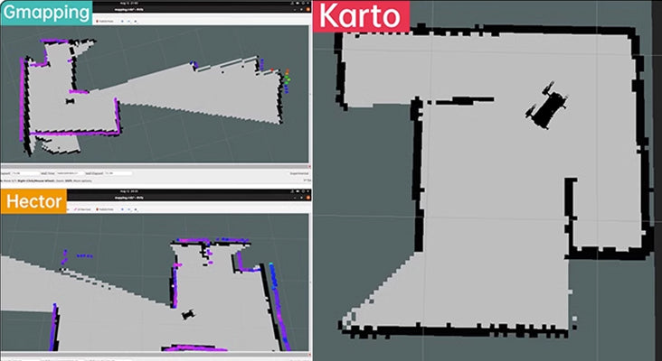
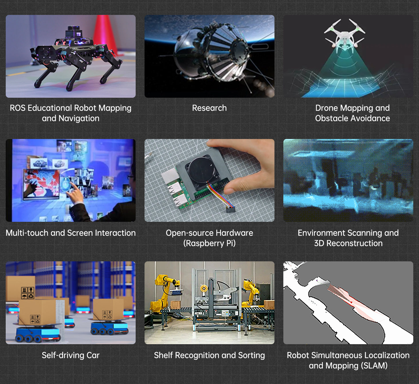
Support ROS1 and ROS2, and compatible with various controllers such as Raspberry Pi and JETSON, making it suitable for various robot scenarios.
| Product model | MS200 | Description |
| Ranging range | 0.03m~12m | 90% reflectivity |
| Measuring accuracy | Typical value: ±10mm[0.2m~2.0m]; ±20mm[2.0m~12.0m]; Maximum value: ±40mm[0.2m~12.0m] |
Under the condition of 90% reflectivity, the radar collects data statistical results at least 100 times. Accuracy is the difference between the data mean and the true value, and precision is the sample standard deviation of the data. |
| Measurement precision | Typical value: ≤4mm [0.2m~2.0m]; ≤15mm[2.0m~12.0m]; Maximum value: ≤15m [0.2m~2.0m ]; ≤30mm [2.0m~12.0m] |
|
| Data information | Distance, Angle, Intensity, Timestamp | |
| Scanning angle | 360° | |
| Frequency | 4,500 points/second | |
| Spinning speed | 7~15Hz,Default 10Hz | Configurable with 1Hz intervals |
| Angular resolution | 0.8°@10Hz | Angular resolution is related to point frequency |
| Laser emission pitch angle | 0.5°~2° | Based on the bottom surface of the radar base frame |
| Laser zero emission azimuth angle | 0±2° | |
| Laser wavelength | Near infrared | |
| Eye safety level | Class 1 IEC60825-1:2014 | |
| Ambient light resistance | 30,000 lux | |
| Operating life | ≥10,000h | Tested based on speed 600rpm |
| Working power supply | DC 5.0±0.5V | |
| Voltage ripple | <100mV | |
| Starting current | <500mA | |
| Working current | Typical value 260mA | Maximum value 300mA |
| Operating temperature | -10℃~ 50℃ | Typical value 25℃ |
| Storage temperature | -30℃~70℃ | Typical value 25℃ |
| Protection level | IP5X | |
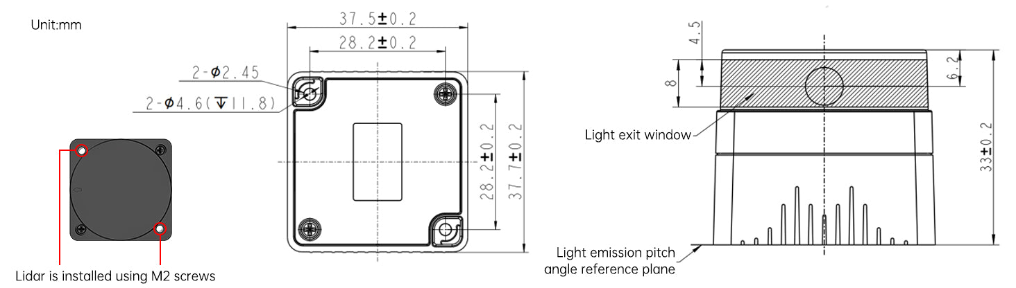
| Product size | 37.7*37.5*33.0 | Length X Width X Height(Unit: mm) |
| Net weight | About 40g | |
| Certification | RoHS2.O, REACH, CE.FCC | |
| ROS support | Support ROS1/ROS2 | |
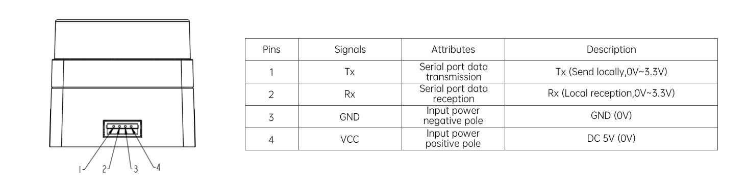
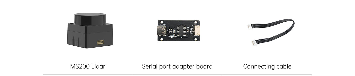
| Item | Specification |
| Product model | MS200 |
| Ranging range | 0.03m~12m |
| Measuring accuracy | Typical value: ±10mm[0.2m~2.0m]; ±20mm[2.0m~12.0m]; Maximum value: ±40mm[0.2m~12.0m] |
| Measurement precision | Typical value: ≤4mm [0.2m~2.0m]; ≤15mm[2.0m~12.0m]; Maximum value: ≤15m [0.2m~2.0m ]; ≤30mm [2.0m~12.0m] |
| Data information | Distance, Angle, Intensity, Timestamp |
| Output | RGB light, buzzer, servo port, llC port, GPIO port and 5*5 LDE matrix |
| Scanning angle | 360° |
| Frequency | 4,500 points/second |
| Spinning speed | 7~15Hz,Default 10Hz |
| Angular resolution | 0.8°@10Hz |
| Laser emission pitch angle | 0.5°~2° |
| Laser zero emission azimuth angle | 0±2° |
| Laser wavelength | Near infrared |
| Eye safety level | Class 1 IEC60825-1:2014 |
| Ambient light resistance | 30,000 lux |
| Operating life | ≥10,000h |
| Working power supply | DC 5.0±0.5V |
| Voltage ripple | <100mV |
| Starting current | <500mA |
| Working current | Typical value 260mA |
| Operating temperature | -10℃~ 50℃ |
| Storage temperature | -30℃~70℃ |
| Protection level | IP5X |
| Net weight | About 40g |
| ROS support | Support ROS1/ROS2 |
| Certification | RoHS2.O, REACH, CE.FCC |
| Product size | 37.7mm*37.5mm*33.0mm |
Ships within 48 hours · Estimated delivery Aug 1 - Aug 6
US$40
Get nowSign up to your membership to get coupons up to
15%
Get nowOpportunity to enjoy order discount up to 15% off
Top-Converting Item to Boost Your Average Order


